Mountain biking in Kreischberg and the surrounding area — trails & MTB routes in Styria
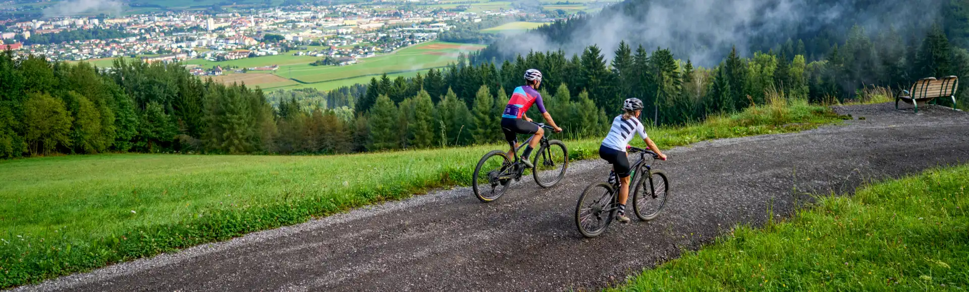
Kreischberg is not just a winter sports mountain. As soon as the snow has melted, the area around the valley station transforms into a compact mountain biking area featuring a Pumptrack, Kreischi Bikeland, and the Kreischberg Trail Area. Furthermore, signposted mountain bike routes lead up the mountain from the valley via Ochsenberg and St. Lorenzen.
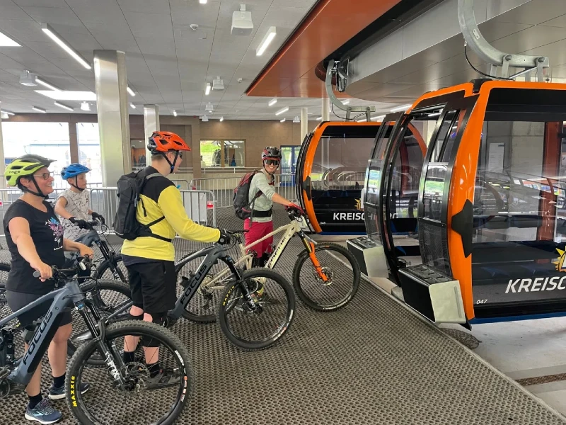
You can pedal uphill yourself, but in the summer, the mountain bike can also be taken along in the 10-person gondola. This way, you choose how much vertical meters you want to gain and save energy for the descent. As a result, there are different ways for beginners, children, and experienced trail riders to discover Kreischberg on knobby tires.
In short
- Pumptrack, Kreischi Bikeland & Trail Area
- Level: beginner to difficult
- Take your mountain bike on the gondola
- Rentals & bike lessons at Bike Kreischberg
- Best period: June–September
Route 1 — Trail Area & Kreischi Bikeland: starting with technique
Low-threshold start
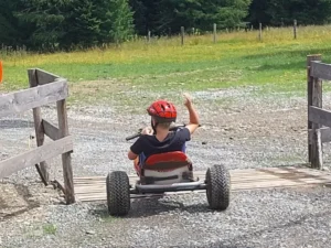
The Pumptrack, Kreischi Bikeland, and the Kreischberg Trail Area are located at the valley station. This is the best place to get a relaxed introduction to mountain biking, cornering technique, balance, and riding on unpaved surfaces before choosing longer or steeper routes.
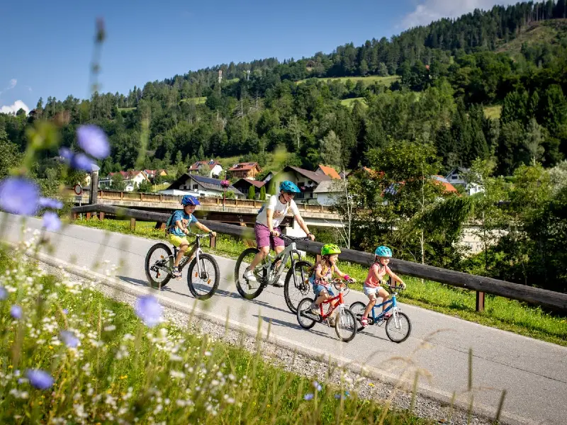
For children and beginners
The area is particularly attractive for families and beginner mountain bikers, as you can practice close to the valley station and build up the difficulty step by step. Those who want extra guidance can go to Bike Kreischberg for bike lessons with various themes for children and adults.
For whom?
Level: beginner to slightly advanced
Suitable for: children, families, and anyone who wants to practice technique
Starting point: Kreischberg valley station
Ideal for: a first introduction or a short MTB session
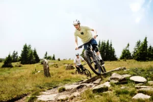
Route 2 — Brugger Trail: flow, forest and technical passages
Distance and difficulty
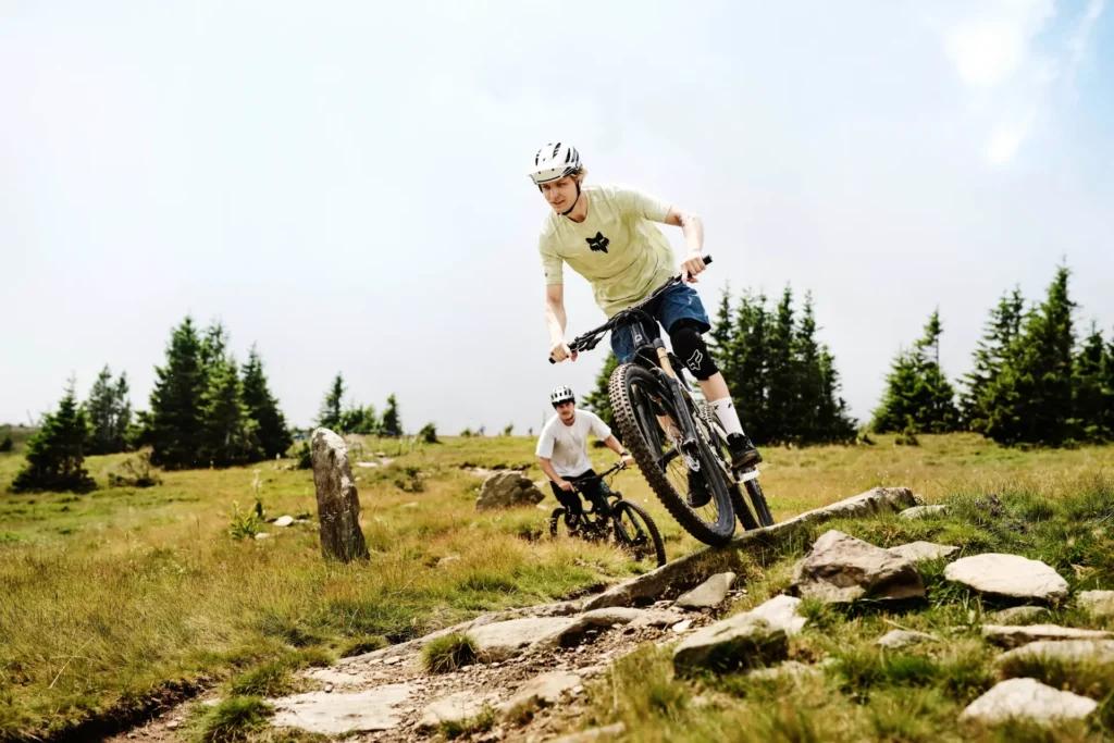
The Brugger Trail is a moderately difficult, red-marked trail of approximately 2.4 kilometers. The official route features about 242 meters of elevation gain and combines flowing sections with steeper passages in the forest.
What can you expect?
After a short pedal section, the trail begins in an open forest. The route partly uses existing forest roads and then transitions into a natural flow trail. Along the way, there is a short black section near a stream; this can be bypassed via a forest road, meaning the entire route remains classified as red.
For whom?
Level: average / red
Distance: approximately 2.4 km
Elevation difference: approximately 242 m
Ideal for: mountain bikers with some trail experience and good bike control
Route 3 — Kreischberggipfel: the strenuous climb to 1,997 meters
A real mountain hike
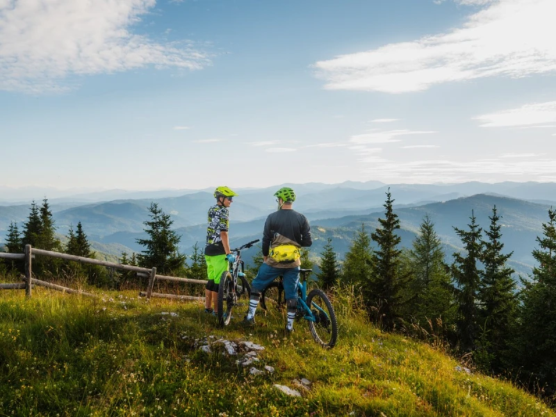
Those who prefer to earn their own elevation gain can ride from the valley station to the Kreischberggipfel. The signposted MTB route is approximately 23.3 kilometers long and covers about 1,146 meters of elevation gain. The highest point is at 1,997 meters.
Up via forest paths
The route starts behind the Kreischberghalle and climbs via a forest path towards the middle station. From there, it continues in hairpin bends to the mountain station and finally through light pine forests to the summit. Along the way, there are mountain huts and rest stops at various points, depending on opening hours.
Best period
For this high-altitude trek, June through September are generally the best months. Be prepared for rapidly changing mountain weather and respect animal resting areas on the alpine meadows.
For whom?
Level: difficult
Distance: approximately 23.3 km
Elevation gain: approximately 1,146 m ascent and 1,149 m descent
Ideal for: sporty mountain bikers in good shape
Route 4 — Ochsenberg & St. Lorenzen: up under your own power or by gondola
Two signposted entrances to the mountain
In addition to the route to the Kreischberg summit, Kreischberg mentions two signposted mountain bike routes that run from the valley via Ochsenberg and St. Lorenzen towards Kreischberg. This allows you to put together a tour where climbing, views, and descending take center stage.
Gondola as a smart shortcut
Do you mainly want to descend or skip part of the climb? Then you can take your mountain bike with you in the 10-person gondola. For example, you can start at the middle or mountain station and continue your route from there. This also makes Kreischberg attractive for mountain bikers who want to ride mountain terrain but do not necessarily want to climb more than a thousand vertical meters.
For whom?
Level: depends on the chosen track
Suitable for: recreational to experienced mountain bikers
Starting point: St. Lorenzen / Kreischberg valley station
Ideal for: a flexible MTB day with a choice between climbing and using the lifts
Practical tips for mountain bikers
Gondola and bike transport
The Kreischberg Summer Railway also transports mountain bikes. In summer 2026, the gondola operates from July 1 to August 29 on Wednesdays, Thursdays, Fridays, and Saturdays from 09:00 to 16:00. A separate surcharge applies for bike transport. Always check current opening times, rates, and any restrictions before departure.
Rent a mountain bike and improve your technique
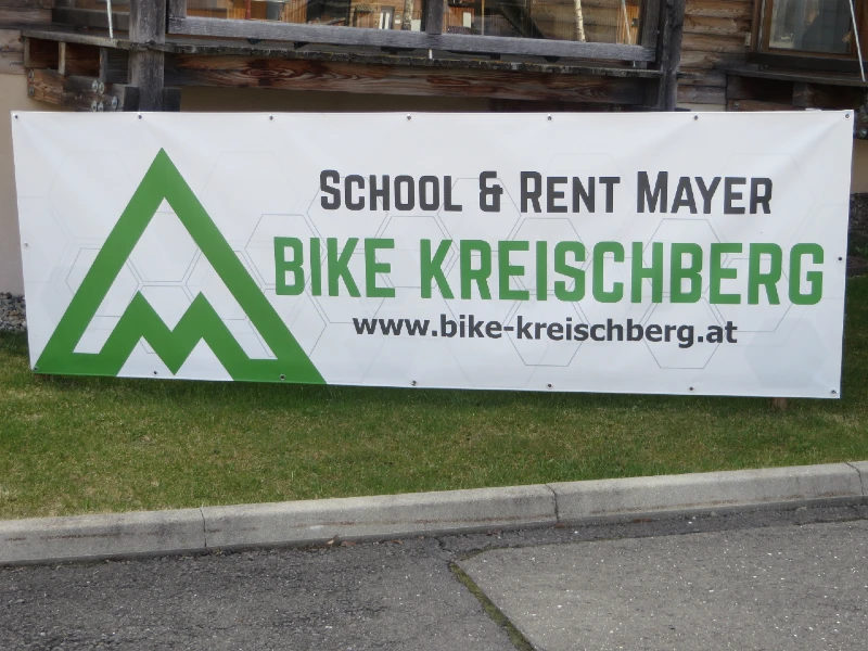
Bike rental, service, and bike lessons are available at Kreischberg. Bike Kreischberg School & Rent Mayer offers, among other things, e-bikes, service, and courses for various target groups. Kreischberg Bikerent and Intersport Pintar are also listed by Kreischberg as rental and service points.
Helmet and protection
A helmet is essential for mountain biking. For faster or technical trails, gloves, knee pads, and possibly elbow pads are highly recommended. Check brakes, tires, and tire pressure before departure.
Stay on the marked routes
Ride only on cleared and marked MTB routes and trails. In the forests and on the alpine meadows, you share the area with hikers, forestry workers, hunters, and animals. Ride by sight, adjust your speed, and prevent unnecessary erosion by cutting corners or locking the rear wheel.
Weather and conditions
Mountain weather can change quickly. Check the weather forecast before departure and be prepared for wet roots, loose stones, and slippery sections after rain. High-altitude terrain is not a good place to continue cycling during thunderstorms.