The 5 most beautiful hiking routes in Kreischberg
Hiking in Kreischberg means choosing from routes between the Nock Mountains and the Niedere Tauern. Kreischberg is situated in the heart of one of the most beautiful hiking areas in Styria. You will find routes for every hiker: from gentle loops around lakes suitable for strollers to panoramic mountain peaks that require you to give your lungs and legs a good workout.
The hiking trails start practically on the doorstep of Kreischberg Suites. You don't need a car to reach the most beautiful paths, and the Kreischberg gondola takes you straight up in the summer (July 1 to August 29, on Wednesdays, Thursdays, Fridays, and Saturdays from 09:00 to 16:00) if you want to skip the elevation gain.
In short
- 80+ walking routes
- Easy to heavy
- Depart from the door
- Signposted
- Free hiking map
Scharfes Eck Route with flowers and vistas
The Scharfes Eck is one of the most popular routes in the region, particularly in June and July when the rare orchids and lime-loving mountain plants are in bloom. The view over the surrounding landscape makes the effort well worth it.
Distance and difference in elevation
The route to the Scharfes Eck is a half-day hike with significant elevation changes. Good hiking boots and a backpack with water and a rain layer are mandatory.
Best period
May and June: for the orchids and flowering mountain flora. July and August: for the panoramic view and the longest daylight hours. September: for the autumn tranquility and clear skies.
Special feature: orchids and rare plants
Along the route, rare wild orchids and lime-loving mountain plants grow in May and June. This is a unique natural phenomenon in the immediate vicinity, something you won't find anywhere on the plains.
Starting point and access
Starting point at the valley station of the Kreischberg gondola or via the gondola itself (active in the summer).
Krakauer Höhensteig Route – panoramic highlight
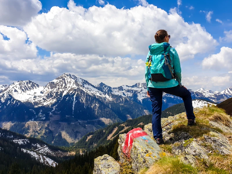
A high-altitude hike with multiple resting places and a new view at every turn. Suitable for experienced hikers who want to spend a full day in the mountains.
Distance and difficulty
The Krakauer Höhensteig is a multi-day or long-day high-altitude route along the mountain ridges above Kreischberg. Suitable for experienced hikers who want to spend a full day in the mountains.
Breathtaking resting places
The route features multiple rest stops with panoramic views of the surrounding mountain ranges. Each rest stop offers a new perspective on the region.
Tips for the route
Start early (before 9:00 AM) to avoid the afternoon above the tree line during thunderstorms. Bring plenty of water, springs are scarce at high altitudes.
Route Gstoder – the most beautiful peak in the region
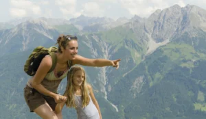
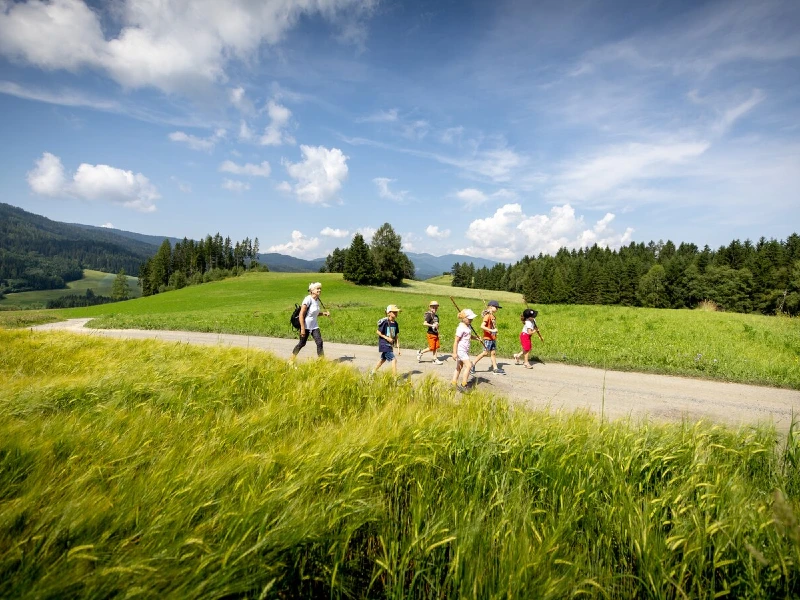
The Gstoder is one of the most beautiful panoramic mountains in Styria. From the summit, you can see the surrounding mountain ranges in all directions. A hike for those who want to end a challenging day with a 360° view.
360° panoramic view
The Gstoder is considered one of the most beautiful panoramic mountains in the Murau-Kreischberg region. From the summit, you can see the Nock Mountains, the Niedere Tauern, and, in clear weather, far beyond the Styrian border.
How difficult is the route?
The Gstoder requires good physical fitness. The elevation gain is significant. Expect a full day of hiking. Good shoes and a backpack are required.
When is the Gstoder easily passable?
May to October. The higher parts are still snow-covered in April. In early October, snowfall can resume quickly. The best conditions are to be expected from June to September.
Etrachsee Route – relaxed circular walk
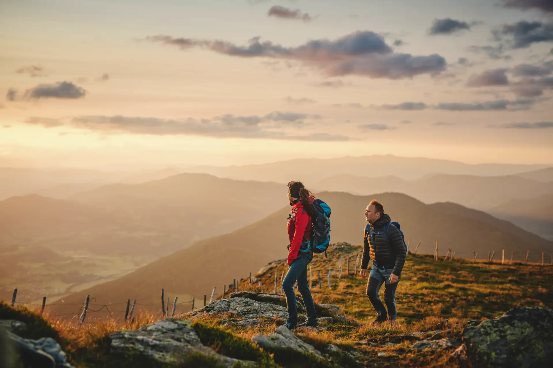
The circular walk around the Etrachsee is quiet, easily accessible, and also suitable for strollers. A perfect choice for a relaxing day or for families with small children.
Suitable for strollers and wheelchairs
The circular walk around the Etrachsee is the most accessible route in the area. The path is largely flat, well-paved, and wide enough for strollers. It is also accessible to people with reduced mobility.
Distance and duration
The circular walk is approximately 4 kilometers long and takes 1.5 to 2 hours at a leisurely pace. Ideal as a morning or evening walk.
Perfect for a relaxing day
Bring a picnic and enjoy the peaceful little lake. The surroundings are quiet, green, and undisturbed by traffic or crowds.
Frauenalpe Route: panorama and finish at the Murauer Hütte
A beautiful circular walk from the Murauer Hütte
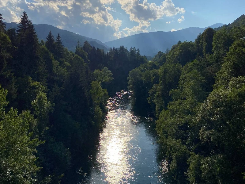
The Frauenalpe is Murau's local mountain and a great choice for those who want to take a panoramic mountain hike without immediately planning a full-day trip. The circular route starts at the Murauer Hütte at approximately 1,583 meters and leads via forest and alpine paths to the summit of the Frauenalpe at 1,997 meters.
Distance and difficulty
The official Frauenalpe circular hike is approximately 8.1 kilometers long and takes about 3.5 hours. You ascend and descend approximately 433 vertical meters. The route is classified as moderately difficult and leads via forest paths, alpine pastures, and the Troghütte towards the summit.
View from the top
Above the tree line, the landscape becomes increasingly open. From the Frauenalpe, you have a panoramic view of Murau, the Kreischberg, and the surrounding mountains. The small Apollonia Chapel is also located close to the summit; during the descent, you pass the Bernhard-Fest-Hütte, which is not in operation.
Drink or snack at the Murauer Hütte
After the hike, you will return to the Murauer Hütte. On the sunny terrace, you can conclude the trip with a drink, lunch, or a typical Austrian dish. The hut is situated at 1,583 meters and serves hot food. However, please check the current opening days and times in advance, as the hut has fixed rest days and seasonal opening hours.
Starting point and parking
From Murau A mountain path leads up to the Murauer Hütte. Public parking is available directly at the hut. This makes this hike easy to plan as an independent half-day trip from Kreischberg.
Practical tips for hiking in Kreischberg
Shoes and clothing
Good hiking boots with a stiff sole are recommended for all routes except the Etrachsee. Always bring a thin rain jacket, as the mountain weather changes quickly.
Gondola as a boarding point
The Kreischberg Summer Railway It runs from July 1 to August 29 on Wednesdays, Thursdays, Fridays, and Saturdays from 09:00 to 16:00. Use the gondola to skip the first few meters of elevation gain and hike longer at the top.
Maps and directions
Hiking maps are available in Murau and at local sports shops. Apps such as Komoot and Outdooractive have digitized all routes with elevation profiles and GPX tracks.